Click On Image For More Info
Hebert Associates, Inc. is a family-owned land surveying and development consulting firm serving the State of Wisconsin. With decades of experience and the latest surveying technology, we deliver fast, accurate results for landowners, developers, and contractors alike. Whether you're building, dividing land, or planning a development, we provide the precision and guidance to move your project forward.
Click On Image For More Info
Our licensed professionals bring over six decades of combined experience in land surveying, boundary resolution, and development consulting. From simple lot lines to complex subdivision plats, we’ve seen it all — and we know how to deliver with precision.
e use state-of-the-art tools like robotic total stations, survey-grade GPS, and AutoCAD software to ensure your surveys are delivered quickly and accurately — reducing project delays and improving your bottom line.
From initial site planning to final plat approval, we handle every phase of land development. We coordinate with agencies, prepare required documents, and guide your project through the approval process, so you don’t have to juggle multiple professionals.
When precision matters, experience counts. At Hebert Associates, Inc., we’ve built our reputation on reliability, expertise, and results that speak for themselves. Whether you need a simple boundary survey or a comprehensive land development solution, we’ve got you covered.
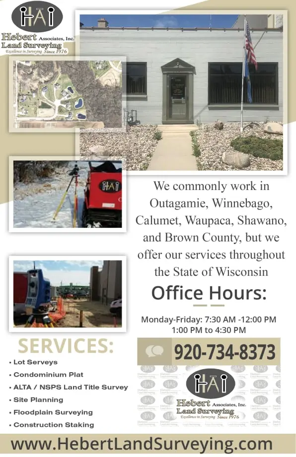
We specialize in lot surveys, floodplain assessments, elevation surveys, ALTA/NSPS title surveys, and much more. Our clients include landowners, developers, and commercial builders who rely on our accuracy and efficiency to keep their projects moving forward.
Working across Outagamie, Winnebago, Calumet, Waupaca, Shawano, and Brown counties — and beyond — we combine the best of old-school values with modern technology to save you time and money.
A land survey determines the boundaries and features of a property. It is crucial for avoiding disputes, ensuring accurate construction, and satisfying legal requirements.
This is a detailed survey required for commercial property transactions, ensuring that the title company and lender have accurate information about the property’s boundaries and improvements.
A Certified Survey Map is a legal document used to divide land into smaller parcels. It’s commonly used for land development, sales, and transfers.